Kākā in Auckland

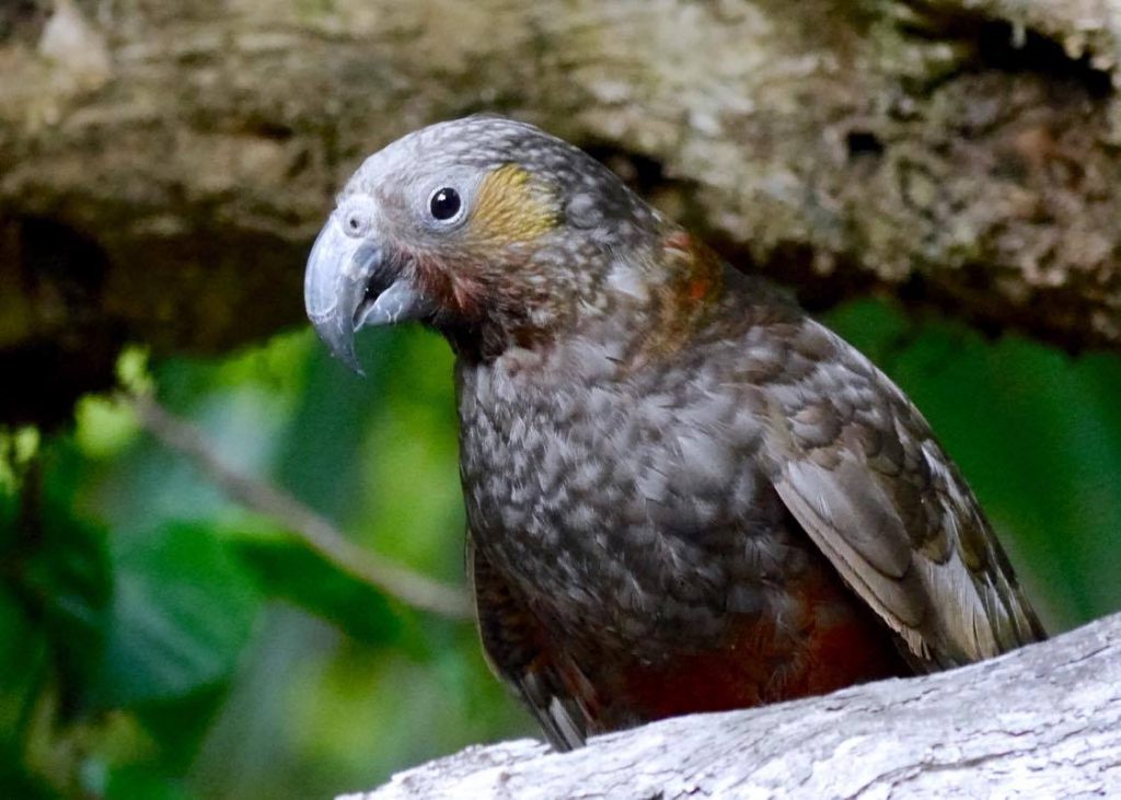
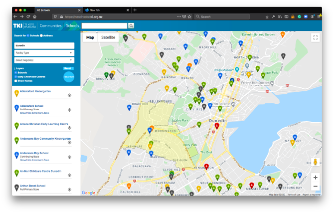
More Kākā have been visiting Auckland. So I made a map showing observations from iNaturalist. Apparently the birds around here are part of the Little Barrier population and normally head back there to breed after wintering over.

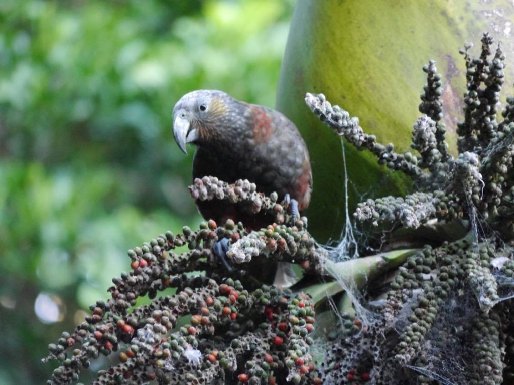
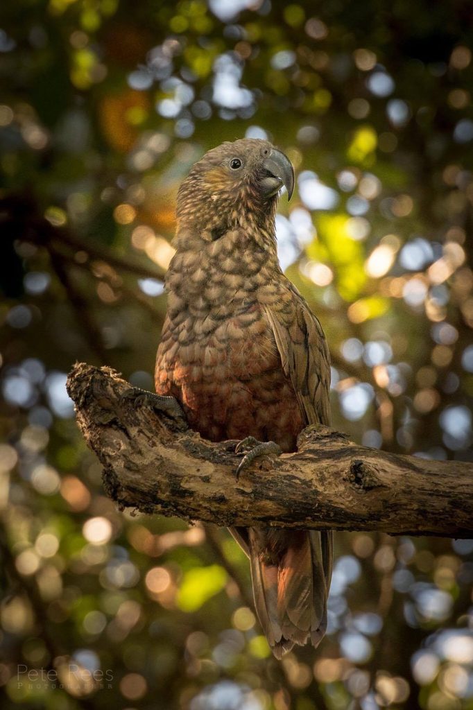
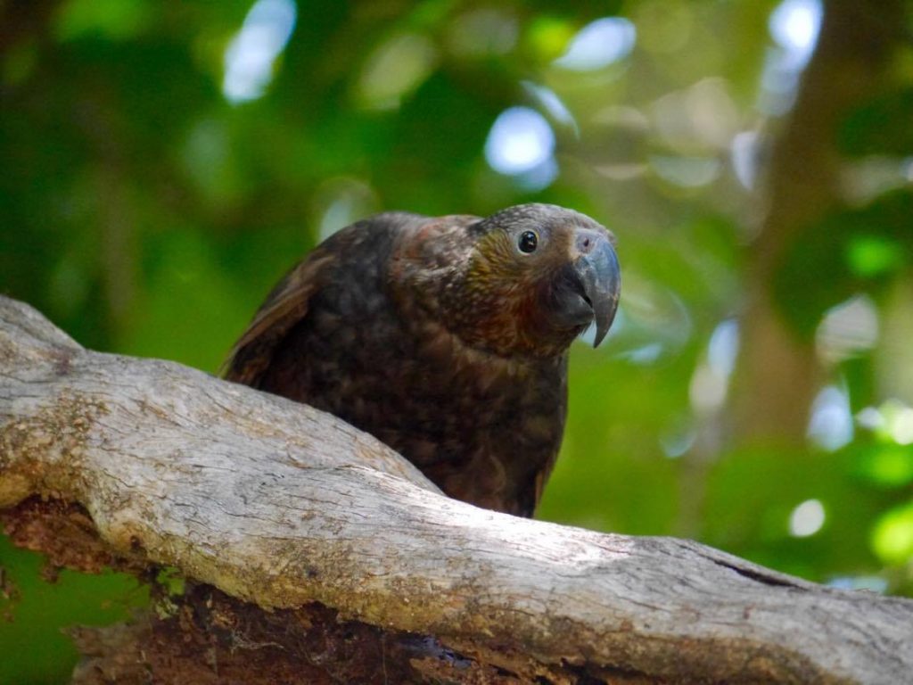
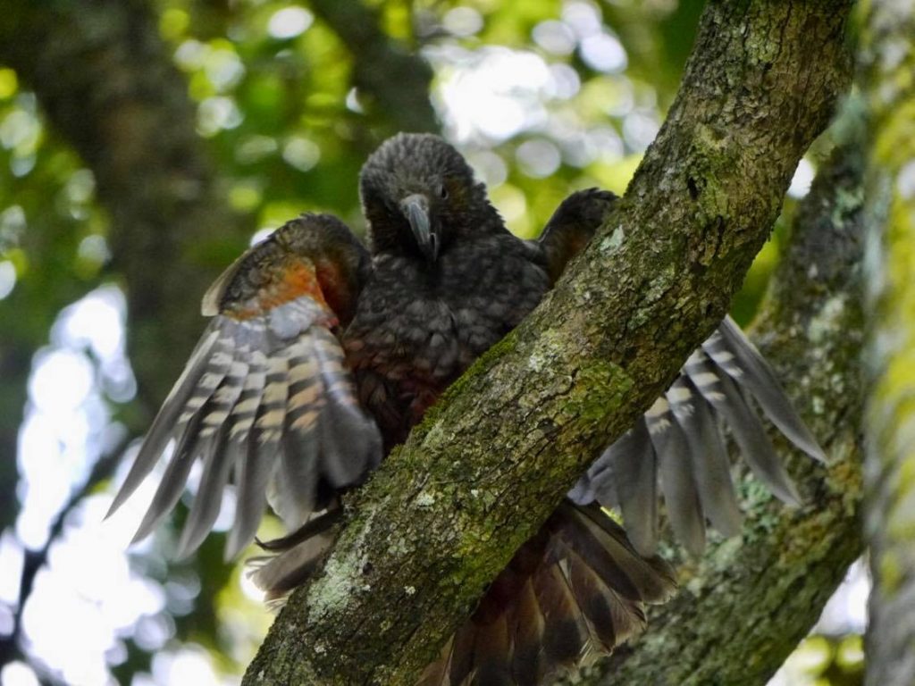
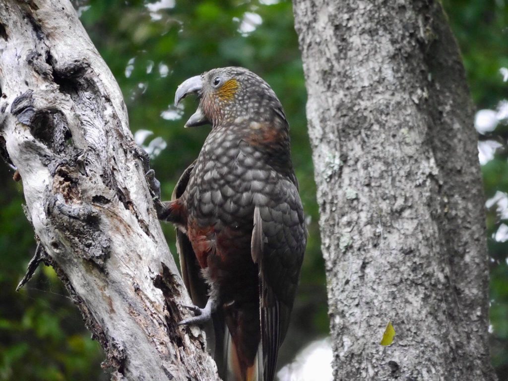
And here are some Waiheke Kākā…

Virtual Reality – an odd experiment

My interest in all things geospatial has spilled over to virtual reality and augmented reality. I made this project just to see what is currently possible to do using HTML5, javascript, and some rough and ready 360-degree panoramas shot with a phone app at home over lock-down. Pop in for a virtual scone and a cuppa. Viewed on a phone or tablet, it uses the compass and gyroscope to let you move around by swiveling and tilting your device.

NZ Schools – Ministry of Education

We built the original NZ Schools site ages ago, along with IOS and Android apps. I re-wrote it be responsive to the device it’s on, adapting to size and orientation.

The website allows users to search for schools based on location, name or other attributes.

Responsive Website replaces previous native apps

Water Quality

I’ve been looking into water quality degradation in NZ. Mostly, but not entirely it’s to do with chucking massive amounts of nitrogen-based fertilizer on dairy farms. Here are some maps based on modeled water quality data.

Average Nitrogen levels in waterways by Territorial Authority
Southland’s water quality has seriously decreased as dairy farming has taken off

GeoOp

GeoOP is software as a service (SAAS) that tracks your mobile team in real time and manages their workflow. The scheduling system lets office-staff assign workers to jobs based on location and availability. Using mobile phones, tablets and GPS, GeoOp tracks the workforce and jobs in real-time.

Through either an iPhone or Android application, Mobile workers can see Jobs allocated to them with all the customer details, a map of how to get there and turn by turn driving directions. They can record time and notes against jobs, allocate parts, upload photos, record signatures, update the status and take credit card payments for jobs.

As soon as jobs are completed they can be invoiced to clients; GeoOPs integrates seamlessly with Freshbooks or XERO online accounting.
GeoOP is the platform that was used by the Volunteer Army to manage the thousands of volunteers and jobs in their clean up work after the Christchurch earthquakes.

Mapfinder

Mapfinder is our spatial platform designed to manage, query, and display spatial data on iPhone, Android and web-based maps. In a nutshell, it lets you search and combine statistical information with spatial data and present it in a visually compelling way.

Barfoot and Thompson and Ray White use Mapfinder in their real estate websites to calculate and show what schools are in enrolment zone or nearby for all their property listings. They can also chart a wide variety of demographic information based on the property’s location. The Ministry of Education do the same sort of thing in their nzschools.tki.org.nz site as well as overlay bus routes and other spatial information.