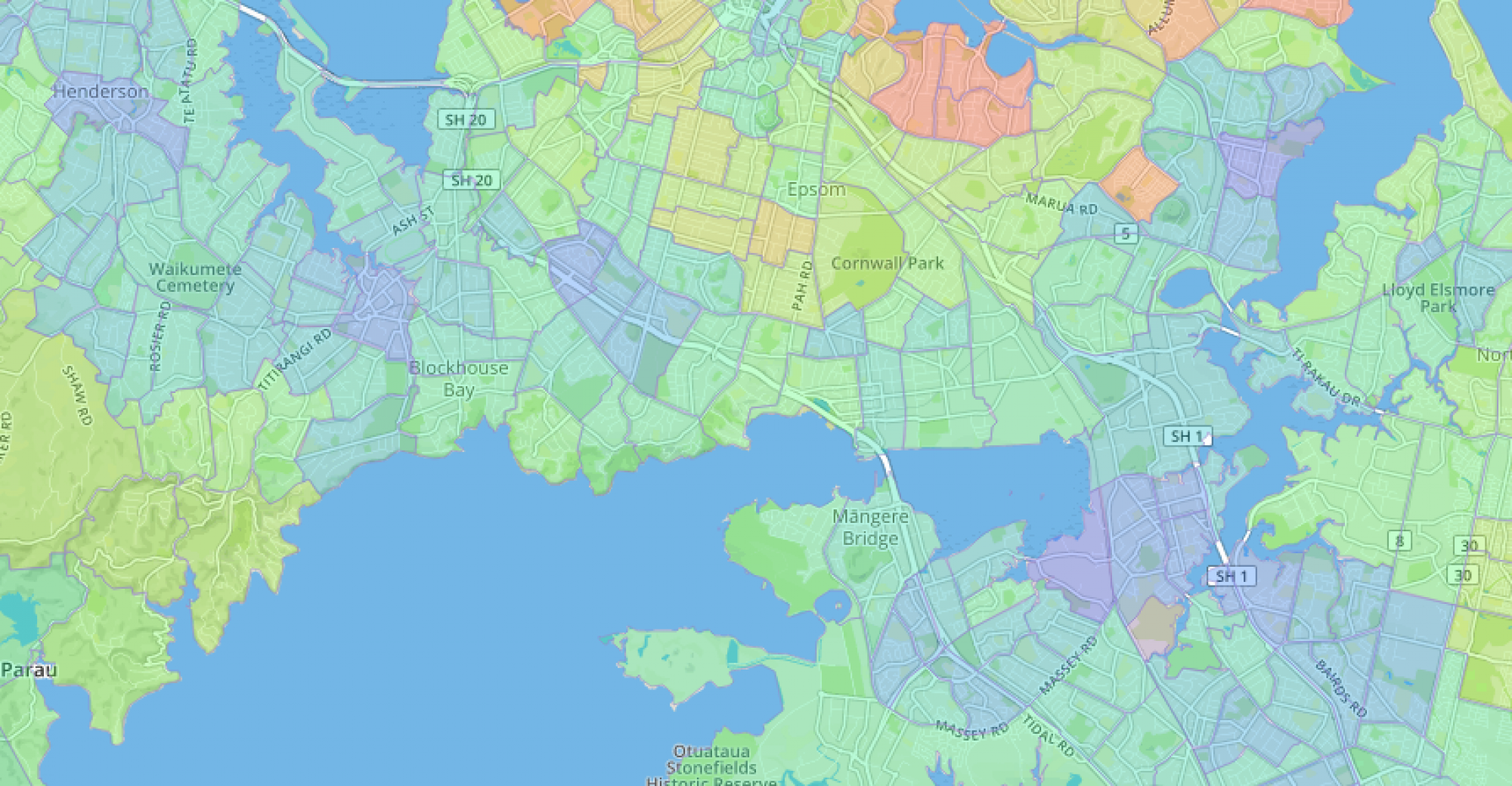
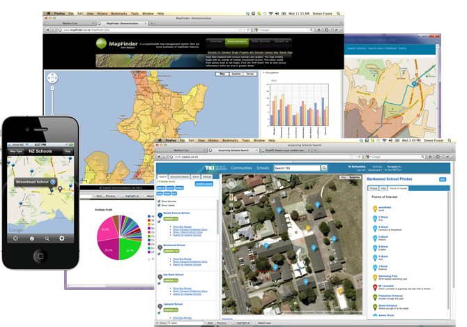
Mapfinder is our spatial platform designed to manage, query, and display spatial data on iPhone, Android and web-based maps. In a nutshell, it lets you search and combine statistical information with spatial data and present it in a visually compelling way.
Barfoot and Thompson and Ray White use Mapfinder in their real estate websites to calculate and show what schools are in enrolment zone or nearby for all their property listings. They can also chart a wide variety of demographic information based on the property’s location. The Ministry of Education do the same sort of thing in their nzschools.tki.org.nz site as well as overlay bus routes and other spatial information.